
Kapolei Neighbor Records by Source
Public records describe a Kapolei block in layers. The parcel map defines the working set. The tax roll supplies an owner and two address fields. Election law identifies only a narrow public voter layer. Board minutes and condominium records add civic or association roles. None of them is a complete list of residents, so each name must stay attached to its source, date, and role.
| Official source | What it can reveal nearby | How to reach it |
|---|---|---|
| HoLIS and Oʻahu parcel GIS | Parcel polygons, TMK, site address, owner attribute, mailing field, ZIP field, and links | Public map and ArcGIS service |
| Honolulu RPAD parcel card | Owner, site and mailing addresses, land and building facts, tax fields, and sales history | Online by address or TMK, plus office and copy request |
| Honolulu Elections | Public name, district or precinct designation, and voter status under Hawaiʻi law | Individual self-check or restricted official file request for election purposes |
| Neighborhood Board 34 | Agendas, minutes, resolutions, members, testimony, and civic issues | Public board page and meetings |
| DCCA condominium resources | Association identity and registered president or management contact fields | Current Real Estate Branch AOUO resources |
Owners are not always occupants. A tax-mailing address may be elsewhere, and a public speaker may have attended a meeting without living by the venue. The safest result is a limited statement such as “RPAD named this parcel owner on the date checked,” not “this person lives here.”
Map Kapolei Neighbors Parcel by Parcel
The official Oʻahu parcel service exposes TMK, polygon geometry, site and mailing fields, a ZIP attribute, and a qPublic link. Its shapes are a visual and assessment aid, not survey-grade legal boundaries. Work outward only far enough to answer a block question.
- Search the known address and save the target polygon's TMK, site address, map date, and layer name.
- List parcels that share a boundary or the immediate street frontage. Note corner-only contact rather than calling it a full side boundary.
- Open each TMK in the Honolulu RPAD property search. Record the owner, site address, mailing address, and assessment date separately.
- Use the Bureau of Conveyances only when a historical title question requires a deed. Do not build a larger name list than the task needs.
The exact live viewer controls for a one-click adjacent selection, radius, buffer, or export were not verified in official text. Use visible polygons and parcel IDs rather than promising a button that may not exist. For an entire named road, the Kapolei street directory owns the broader workflow.
View the state-hosted parcel layer and its field metadata before recording nearby TMKs.
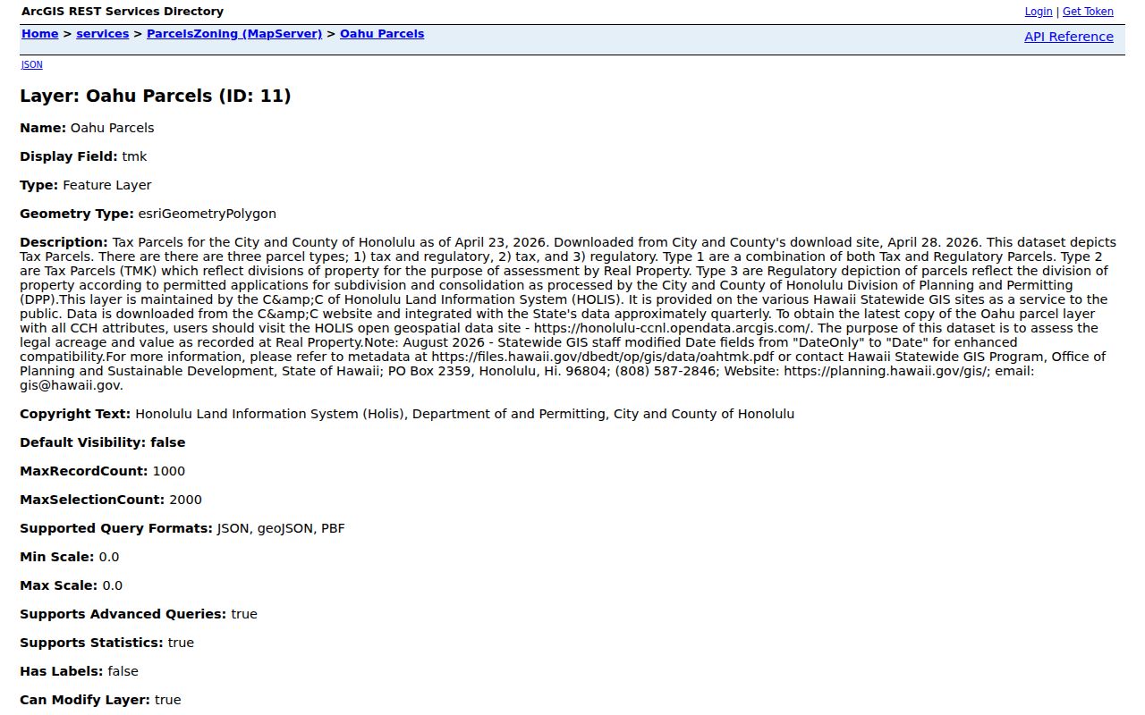
The service view makes the data fields and layer source explicit, which helps distinguish a mapped parcel from a verified resident claim.
Kapolei Neighbors Need Two Addresses
RPAD separates the situs, or physical site address, from the address used for tax mail. That distinction is an important Kapolei search check. A local site paired with an off-island or post-office-box mailing line may identify the correct owner record without saying anything about present occupancy. Condominium units add another layer because the project, phase, unit, and CPR identifiers may differ from the simple street line.
Record both fields exactly. Preserve the 91- or 92- prefix, punctuation, zeroes, and unit. Then compare the TMK and legal description, not just the owner's spelling. RPAD's home-exemption field can show that tax relief was applied for the relevant year, but it is not a live household roster and does not identify each person in the home.
Hawaiʻi Limits Block Voter Records
HRS §11-97 makes a voter's full name, district or precinct designation, and status public. It does not create a street-by-street household list. Residence and mailing addresses, birth date, identification numbers, Social Security information, and other affidavit fields remain controlled by election and government-purpose rules. The Online Voter Registration system is designed for a registrant to confirm or update that person's own record with identity facts.
For lawful election research, contact the Honolulu Elections Division, identify the election-related purpose, narrow the requested geography and date, and retain all use conditions. The current form, export columns, and price were not verified, so no general block file should be promised. A missing public result may also reflect a protected record rather than no registration.
Note: A precinct is election geography, not a parcel boundary, condominium project, neighborhood board area, or proof that two people share a household.
Board 34 Connects Kapolei Neighbors
The Makakilo-Kapolei-Honokai Hale Neighborhood Board 34 page publishes agendas, minutes, resolutions, board members, and testimony routes. Meetings are listed for the fourth Wednesday at 7 p.m. at Kapolei Hale. These records can reveal the public issues tied to a block and the role of someone who chose to speak or serve.
A civic record is not a resident roster. Label a person as a board member, testimony speaker, agency representative, or other stated role, and retain the meeting date. Kapolei Hale at 1000 Uluohia Street is also a city facility, so a name in an event record must not be described as a resident of that address.
Open the current Board 34 page to check the latest meeting material and board notices.
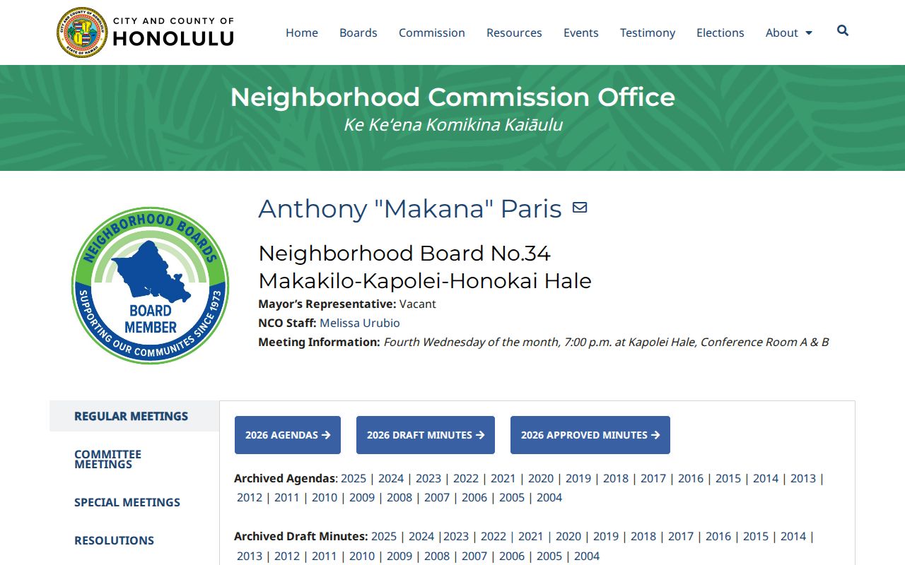
The page supports civic geography and public participation, while leaving private household membership outside the record.
Kapolei Associations Are Contact Leads
The DCCA Real Estate Branch AOUO list supplies useful community names and registered contact fields for condominium associations. It does not name every unit resident. DCCA also warns that the list may not be complete or current, and ordinary homeowner associations or cooperatives are not necessarily registered in the same system.
| Kapolei-area association | Recorded context | Research limit |
|---|---|---|
| Awakea at Mehana | Reg. 7326; Kakala Street association contact context | Contact row, not a household roll |
| Anuhea at Makakilo | Reg. 5249; Palalau Place context | Verify against the current list |
| Nohona II at Kapolei | Reg. 6987; Kama'ha Avenue context | One registered contact is not every neighbor |
| Nohona III at Kapolei | Reg. 7299; second Kama'ha Avenue record | Older capture requires a fresh check |
| Watercolors at Makakilo | Named AOUO example | Exact current fields were not verified |
Use those distinct project names as search keys in RPAD, DPP, BOC, and Board 34 material. Keep the role precise: an association president or manager is a point of contact, not proof of occupancy in every unit.
Official Kapolei Rolls Beat Compilations
Commercial neighbor tools compile marketing and public data. They can merge people with the same name, retain old addresses, and present an unrelated household link as current. Official sources are narrower, but each identifies its custodian, field meaning, date, and correction route.
| Measure | Official parcel and civic records | Commercial compilations |
|---|---|---|
| Role | Owner, parcel, voter status, board role, or association contact is labeled | Relationship labels may be inferred |
| Geography | TMK, polygon, precinct, or board source is stated | Postal, marketing, and old address data may be mixed |
| Correction | The government custodian has a defined route | Suppression does not alter the source record |
Use the smallest official set that answers the question. If a source record is wrong, ask RPAD, GIS, Elections, DCCA, or the board custodian to review that record rather than relying on another compilation.
Privacy Bounds for Kapolei Neighbors
Parcel records cannot identify all renters, relatives, guests, or other household members. Utility and delivery records were not located as public neighbor-search sources. Private congregation, block-watch, club, and association member rosters also remain outside the public official trail. Sealed court files and restricted election fields do not become public because another record contains a similar name.
Hawaiʻi's Address Confidentiality Program gives qualifying survivors of domestic abuse, sexual offenses, or stalking a substitute address and mail forwarding. Treat that substitute as a firm stop. Do not attempt to reconstruct a protected location from parcel, meeting, directory, or association clues.
Respect the block. Use neighbor records for civic curiosity, reconnecting, and personal safety. Never use them to monitor, intimidate, stalk, harass, or harm a person.