
Kapolei Previous-Resident Sources by Era
No one roll names every person who occupied a Kapolei property. The modern trail begins with the City and County of Honolulu parcel card and the statewide land record. Earlier household evidence is regional. It may be filed under Honolulu, Ewa, Waipahu, Barbers Point, ʻEwa Plain, or Oʻahu rather than Kapolei. Each source also answers a different question: a deed identifies title parties, a directory prints a dated listing, a census describes a released household, and a permit records work tied to a site.
| Source | Period covered | Access point | Evidence supplied |
|---|---|---|---|
| RPAD parcel card and sales history | Current and historical assessment fields | Online qPublic or Kapolei RPAD office | Owner, site and mailing addresses, TMK, land and building facts, and sales entries |
| Bureau of Conveyances index | January 1976 to present online | Online search and ordering | Grantor, grantee, instrument, recording date, TMK, and legal description |
| Older recorded instruments | Before January 1976 | BOC Public Reference Room or written search request | Earlier links in the title chain and certified or uncertified copies |
| Honolulu directory families | 1884 into the postwar period | UH, State Library, Archives, FamilySearch, and LOC | Dated names, addresses, occupations, organizations, and phone listings |
| Federal census schedules | 1900 through 1950 released for Hawaiʻi | NARA and library research databases | Household members, relationships, ages, birthplace, work, and enumeration geography |
| DPP permits and address records | Varies by case and migrated system | HNL Build status or DAIB records request | Permit number, TMK, project dates, reviews, and documented address changes |
Start with the newest source that fits the question. A present parcel number anchors the deed chain. For a mid-century household, use the directory and census together. When only a structure date is needed, the permit file may be more useful than either. A blank result is not proof that no previous residents existed.
Anchor Kapolei Past Residents to TMK
The Honolulu RPAD property search accepts a location address or parcel number. Preserve the full Oʻahu address, including a 91- or 92- prefix and unit number. The result can show the owner, site address, separate tax-mailing address, land and building descriptions, tax classification, relief fields, and sales history. The twelve-digit portal form of the TMK is the best handoff to later sources.
Do not treat the owner line as an occupant roll. A mailing address can point away from the parcel, and an owner may be a trust, company, estate, or person who lived elsewhere. The legal description and TMK are still valuable because they survive changes that defeat a plain street-address search. If an online result is unclear, RPAD also has a Kapolei office at 1000 Uluʻōhiʻa Street, Suite 206, and accepts requests for record copies.
RPAD's official property-record examples show how assessment and parcel fields are presented.
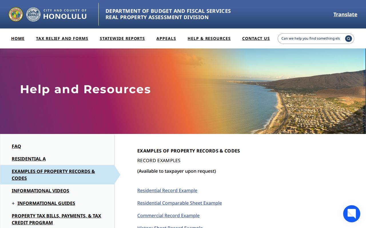
The examples help separate a site address, mailing address, land description, improvement facts, and history before any name is carried into the deed index.
Walk Kapolei Previous-Resident Deeds Backward
Hawaiʻi uses one statewide recorder, the Department of Land and Natural Resources Bureau of Conveyances. That is a key local fact. A Kapolei title is not found in a separate county clerk deed book. Use the parcel result to identify the latest sale or instrument, then move from buyer to seller one transfer at a time.
- Save the current TMK, every owner name, the legal description, and each sale or instrument number shown by RPAD.
- Open the BOC Document Search and Ordering portal. Search the TMK, document number, and current owner as the grantee, the party receiving title.
- Read the conveyance for its grantor, the party transferring title. Retain the recording date, document type, legal description, number, and linked references.
- Search that grantor as a grantee in an earlier transaction. Repeat the same checks, including Abstract, Torrens, or Land Court modes when the index calls for them.
- When the chain passes the online boundary, use the BOC Public Reference Room or submit the official written search form with names, dates, document facts, and delivery choice.
- Grantor and grantee
- The grantor transfers an interest; the grantee receives it.
- Chain of title
- The linked sequence of recorded transfers for the same property.
- Legal description
- The lot, plat, condominium, Land Court, or other recorded land identity, which is often steadier than a street label.
Kapolei Past-Resident Deeds Cross 1976
January 1976 is an access boundary, not the start of land recording in Hawaiʻi. BOC describes free searching and paid document ordering for records in its online period. Search controls include party name, document number, TMK, platted or unplatted land, condominium details, lots, blocks, and title-system choices. A deed may omit the modern address, which is why the TMK and legal description matter.
Earlier instruments require another channel. The BOC general-public instructions route researchers to the Public Reference Room or a written search request. The request should state the parties, date range, document facts, certification choice, delivery, and payment information. A failed online search near 1976 should trigger that handoff, not a guess that the chain ends.
Note: Keep the recorder's document number beside every name, since a common surname alone cannot prove that two transfers involve the same parcel.
Pair Kapolei Past-Resident Sources
Deeds trace owners, but previous residents can include relatives and renters who never held title. The verified historical shelf consists mainly of Honolulu and island-wide publications. McKenney, Husted, Polk-Husted, and Polk runs stretch from the 1880s into the postwar period. The Kapolei city directories page covers those collections in full. For address history, extract only the dated household facts needed for one property.
Use a short, repeatable flow:
- Record the exact directory title, year, printed place heading, page, name, address, occupation, and spouse or widow notation.
- Check the next available issue, while allowing for gaps and changed publishers.
- Pair the listing with a released federal census year from 1900 through 1950. Confirm the enumeration area because street naming may differ.
- Add a newspaper, obituary, probate, tax, or deed reference that has the same person, date range, and place.
The Library of Congress 1952-1953 Honolulu telephone book shows how a real line can carry a surname, initials, a possible residence marker, address, and phone. No exact Kapolei criss-cross title and year run was verified, so ask a reference librarian before claiming that an address-indexed volume exists.
Historic Maps Stop Short of Kapolei
Sanborn fire-insurance sheets can date a building footprint in places they actually cover. The Library of Congress lists Hawaiʻi maps for 25 towns and cities, including a seven-sheet Waipahu item revised from January 1953 through June 1957. No Kapolei-titled Sanborn item was located. A Waipahu sheet is west-Oʻahu context, not proof about a Kapolei lot.
For modern Kapolei parcels, use current GIS, the recorded plat, legal descriptions, and DPP permit files. The Hawaiian Historical Society research collection can add maps, photographs, newspapers, and manuscripts by reading-room appointment.

The collection can provide regional context, but its map or photo must still be matched to a parcel, date, and cited collection item before it supports a claim.
Kapolei Permits Date Property Changes
A permit can explain why past residents used another unit, address, or building description. DPP documents address requests for a separate permitted unit, a new dwelling on vacant land, an added dwelling, an incorrect address, or a legality check. HNL Build became the application route in August 2025. Older material may sit behind a system boundary rather than being lost.
Search by TMK or known permit number, then request the fuller project file through the Data Access and Imaging Branch when the public status is not enough. Save the permit number, project description, dates, reviews, and the address form used at that time. No verified citywide Kapolei renumbering year was found. Never insert one merely to bridge two unlike address strings.
Close Kapolei Previous-Resident Gaps
Obituaries and probate records can close a trail after a name leaves the directory or deed chain. The Hawaiʻi State Archives publishes historical probate and will index routes, while UH Mānoa provides newspaper indexes and research databases. A current probate matter may instead appear through the First Circuit court system. Search with the exact dated role: owner, grantee, directory listing, decedent, personal representative, or case party.
Kapolei has no verified standalone obituary index. Ask Kapolei Public Library, the Hawaiʻi State Library, or UH West Oʻahu Campbell Library for the relevant newspaper title, year, database, call number, or interlibrary route. Keep the gap visible when no source joins the names. Similar spelling and the same address are useful, but two independent anchors remain the sound minimum.
Use records with care. Previous-resident research is appropriate for house history, genealogy, estate work, and personal curiosity. Stop at protected records, and never use an address trail to stalk, harass, or harm a living person.